Europe Nook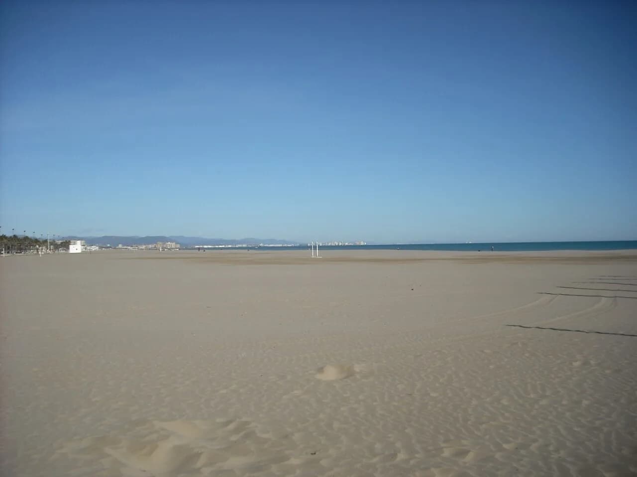
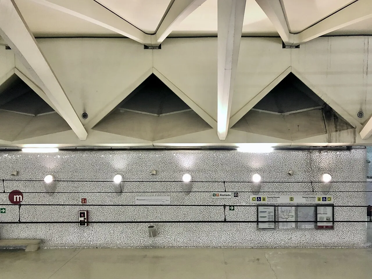
For Valencia’s beaches, choose the coastal stop before choosing your line. From central metro stops, line 5 reaches Marítim, where you can connect with the coastal tram network. Lines 4 and 6 serve the northern beach corridor, while line 8 links Marítim with Neptú by the marina. The best route depends on your starting address and which stretch of sand you want.
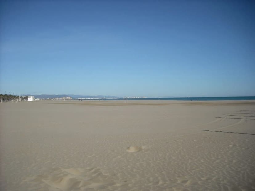
Featured image: Malvarrosa beach in Valencia. Enrique Íñiguez Rodríguez (Qoan), CC BY-SA 3.0, via Wikimedia Commons. Resized and converted to WebP.
Valencia Tram to Beach: The Fastest Route
Use the current Metrovalencia map to distinguish three routes: line 4 along the northern city to the coastal loop, line 6 between Marítim and the northern districts, and line 8 between Marítim and Neptú. From the centre, metro line 5 to Marítim is one useful connection. These are different services, not contradictory names for one line. Allow for the interchange and the final walk. From the airport see the arrival guide; from Nord use the nearby Xàtiva metro stop described in the station guide.
Which Beach Are You Going To? El Cabanyal, Las Arenas, and Malvarrosa
Cabanyal/Las Arenas and Malvarrosa form adjoining stretches of Valencia’s urban seafront. Choose a promenade entrance or restaurant address rather than a generic beach label. Walking north along the coast can be pleasant, but it adds distance after the ride. For a day focused on monuments instead, compare the historic-centre walk.
- Cabanyal/Las Arenas: choose a coastal tram stop for your promenade entrance; Neptú is convenient to the marina end.
- Malvarrosa: use a stop nearer the northern beach corridor, checking the walking route from the platform.
- Patacona: farther north; check EMT/Metrobús connections for your exact beach address rather than assuming a tram reaches it.
- Coastal loops can have different stop patterns by direction. Check the return stop as well as the outward one.
Tram vs. Metro vs. Bus: Which Mode Wins?
Valencia's transit network runs 6 metro lines and 4 tram lines citywide, plus 60 bus lines and 180 metropolitan routes, according to the official transport guide. Three realistic options exist for a beach trip from the centre: the metro-plus-tram combination, a direct bus, and the wider EMT and Metrobus network serving the coast. Each wins on a different measure, from raw speed to fare simplicity.
| Mode | Route | Journey Time | Transfers | Best For |
|---|---|---|---|---|
| Metro and tram | Line 5 to Marítim, then appropriate tram | Check live itinerary including walking | Usually one interchange from the centre | Useful from metro-served districts |
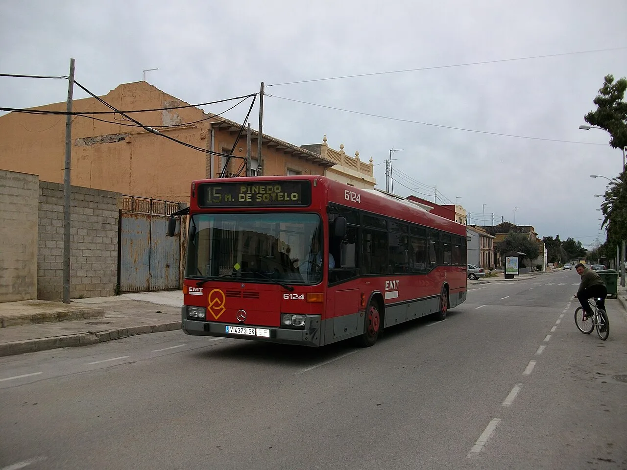
| Direct EMT bus | Choose route for your address and beach | Traffic dependent | May avoid a transfer | Useful when a stop is near your accommodation |
| Other coastal routes | Check EMT or Metrobús operator | Varies by destination | Depends on route | Different tickets can apply outside EMT |
Tickets and Cards: Single Fare vs. Valencia Tourist Card
Central Valencia and its urban beaches normally fit a city-zone journey, but select the correct product for your actual origin. A metro-only single and an integrated SUMA journey have different transfer rules. EMT singles are €2; SUMA 10 can be useful when combining modes. The Tourist Card covers eligible travel during its validity, with Renfe coverage limited to AB. Compare the card options and metro ticket rules.
- Zone A or B: €1.50 + card fee (€1.10 cardboard or €2.20 plastic)
- Zones A and B: €2.80 + card fee
- Zone B+: €3.50 + card fee
- Zones A and B+ (airport): €4.80 + card fee
- EMT bus: flat €2 per journey, no card required
Journey Time, Frequency, and the Last Tram Back
Check the precise last tram and any connecting metro for your date. Network opening windows do not guarantee that your coastal stop has a departure at closing time. Weekend services, special events and engineering work can change the timetable. For dinner at the beach, identify a workable return route before choosing a late booking.
Getting to Pinedo, Saler, and Devesa del Saler: Bus Only
The southern beaches at El Saler and the Devesa are beyond the tram network. EMT routes 24 and 25 serve the Albufera corridor, with different final destinations; check the stop nearest the beach entrance and the walk through the park. Do not rely on old claims that only a private Herca bus reaches the Devesa. See the Albufera bus guide and EMT ticket guide.
What's at the Beach: Facilities, Parking, and Nearby Sights
Accessible beach facilities, lifeguards and hired equipment can be seasonal. Check the current arrangements for the specific beach before relying on them. Line 10 serves the City of Arts and Sciences/Natzaret corridor; it does not deliver you directly to the urban beach promenade or a cruise berth. If combining the complex with the beach, plan the separate bus, interchange or walking leg.
Mistakes to Avoid on a Valencia Tram-to-Beach Trip
A few planning mistakes turn a simple beach trip into a wasted afternoon. Avoid these before you head to the coast.
- Picking the wrong stop: Mediterrani, Les Arenes, and Eugenia Vines serve different points along the coast, so match the stop to your actual beach.
- Confusing line 8 to Neptú with lines 4 and 6, which serve other parts of the coastal corridor.
- Assuming the tram reaches El Saler or the Devesa; use an appropriate bus and confirm the last walk.
- Missing the last service back: the network publishes operating windows, not a beach-specific last departure, so check the app if you're staying for a sunset swim.
- Forgetting the card fee when comparing costs: the one-time reloadable card fee can make a single bus ticket cheaper than a single metro trip for a one-off visit.
Related routes and ticket guides
Use these guides for the next part of your car-free trip:
For travel beyond the city, compare Valencia’s day-trip routes before buying a pass: regional destinations can require additional zones, separate tickets or a replacement bus.
Sources and current travel checks
Reviewed on 6 October 2026. Route descriptions explain the normal journey or the operator’s published recovery plan; they are not confirmation that a particular departure is running today. Check live service notices, the dated return journey and any local connection before travelling.
Frequently Asked Questions
Which tram or metro line goes to the beach in Valencia?
Lines 4 and 6 serve the northern coastal corridor; line 8 connects Marítim with Neptú near the marina. Choose the stop for your precise beach destination and check the current route map before travelling.
How long does it take to get from Valencia city centre to the beach by tram?
It depends on your starting stop, interchange wait and final walk. Use the live journey planner for the whole trip; a generic fastest-time claim for all of the historic centre is misleading.
Is it cheaper to buy single tickets or the Valencia Tourist Card for a beach trip?
Compare an EMT single with the appropriate SUMA product or metro/tram ticket for your full day. A new card charge can affect a one-off journey, but it should not be added repeatedly if you already have a reusable support.
Can you reach all of Valencia's beaches by tram or metro?
No. The urban beaches are served by tram and bus connections, while the southern Albufera beaches require bus travel and a walk from the relevant stop.
What time does the last tram back from the beach run?
Check your actual stop and direction in the live timetable, including any metro connection afterward. A network-wide closing time is not a last-departure promise.
Which stop is closest to El Cabanyal vs. Las Arenas vs. Malvarrosa?
Choose the beach entrance first. Neptú is near the marina end, while stops on the line 4/6 coastal corridor suit other stretches. Check the walking route and the return-direction stop on the current map.